


Kelham Island expands
Sheffield City Council is voting to extend the boundaries of the conservation area to include areas such as Neepsend, in a move that will bring increased planning oversight to some of the city’s fastest-evolving post-industrial neighbourhoods.
Under the proposal set for approval at the council’s planning meeting today, the conservation boundary will increase to include three key areas:
- A section from South Parade to Shalesmoor Road, incorporating Moorfield Flats and Yard Street;
- The Coal Drops area, connecting with Rowland Street and encompassing Wilson Street;
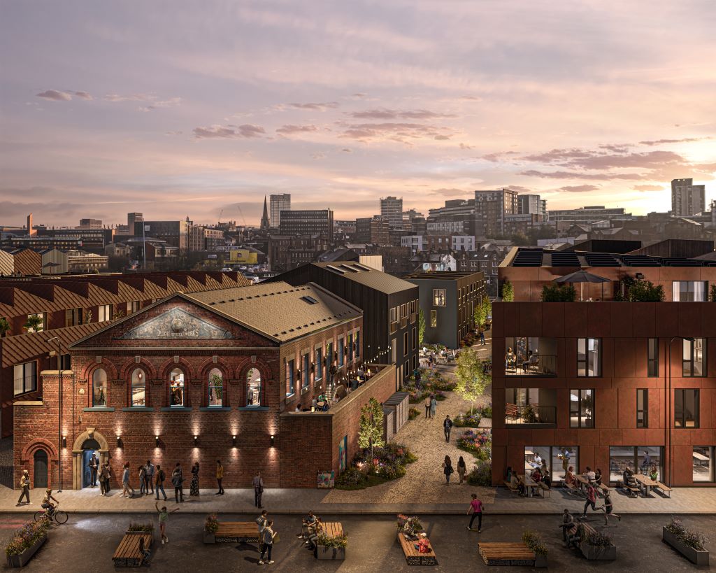
- Neepsend, covering properties along Burton Road, Rutland Road, Bradwell Road, and parts of Neepsend Lane, including the historic Cannon Brewery, where Capital & Centric are currently on site creating a 550-home neighbourhood.
The changes will not remove any existing areas from the current conservation designation.
The area will also be renamed the Kelham Island and Neepsend Conservation Area to reflect the expanded geographic footprint.
Conservation area status introduces additional planning controls, including demolition of buildings, felling if trees, and certain types of permitted development and advertisements.
Planning applications within the new boundary will be subject to stricter scrutiny, with developers required to demonstrate how proposals preserve or enhance the area’s historical and architectural character.
While not statutorily required, Sheffield City Council undertook a six-week public consultation on the changes from June to July 2025.